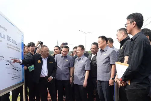
Thailand's agriculture ministry and ARDA (agricultural research organization) are deploying Radar4Flood, an AI-powered flood forecasting system, across four priority river basins covering 3.36 million rai and 1 million people. The system integrates weather radar and ground rainfall data to provide 10-minute updates, 3-hour rain forecasts, and 24-hour flash-flood/landslide warnings—actionable for farmers, municipalities, and emergency responders. Simultaneously, Hat Yai city is expanding reservoir capacity (Klongrian basin +250,000 m³) and drainage rates (Klong Toey: 160→250 m³/sec) as part of integrated flood management. The system will expand to 5 additional provinces in 2026 and 8 more watersheds by 2028, eventually covering 15.7 million rai.
← Back to all articles