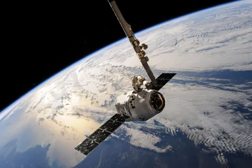
SpaceAI—combining satellite Earth observation, large language models, cloud computing, and advanced analytics—enables Southeast Asia to convert massive environmental data into actionable forecasts for climate risk management. Rather than reacting after disasters, AI-powered satellite analysis can identify high-risk zones (e.g., wildfire-prone peatlands via groundwater mapping) before crises occur, enabling governments and businesses to prioritize emergency response, implement preventive measures, and protect supply chains. As a 63% probability of severe El Niño looms by end-2026, the region's bottleneck is not data scarcity but the lack of timely, reliable decision-making—a gap SpaceAI fills.
← Back to all articles